
2 /
20


PROMOTING HEALTHY
NORTHERN SHENANDOAH VALLEY
WATERSHEDS
In cooperation with other Chesapeake Bay watershed Planning District Commissions, communities and stakeholders, the NSVRC is working with the Department of Environmental Quality to further the efforts of the Chesapeake Bay Program, in reducing the pollution entering and impairing the Chesapeake Bay.

WHAT IS A WATERSHED?
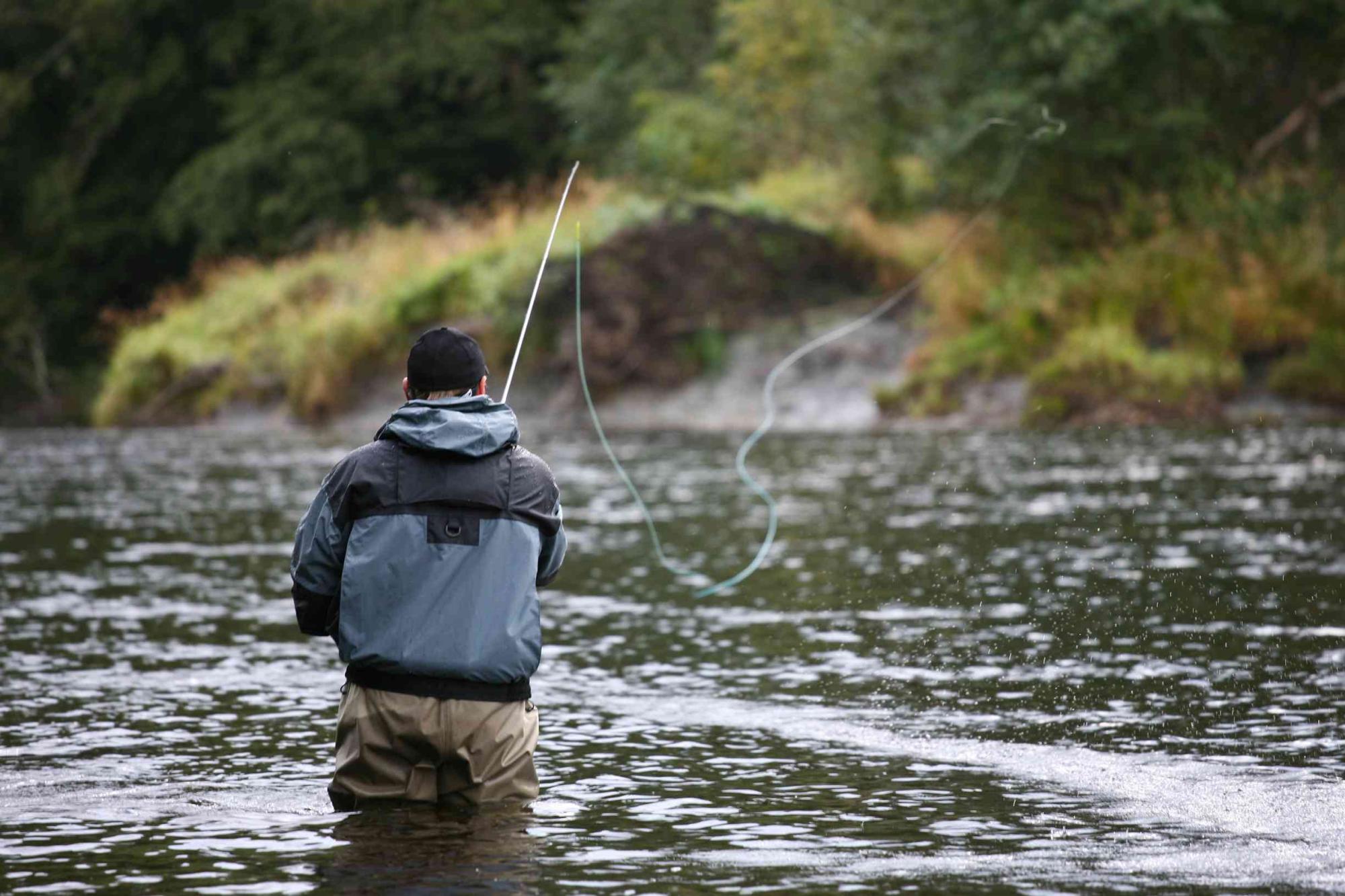
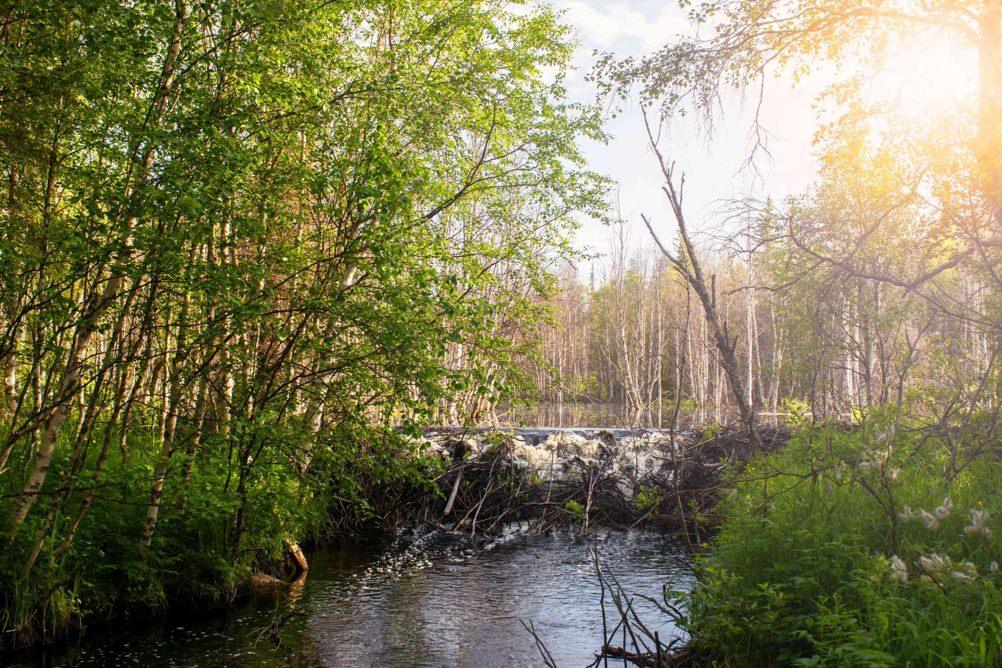
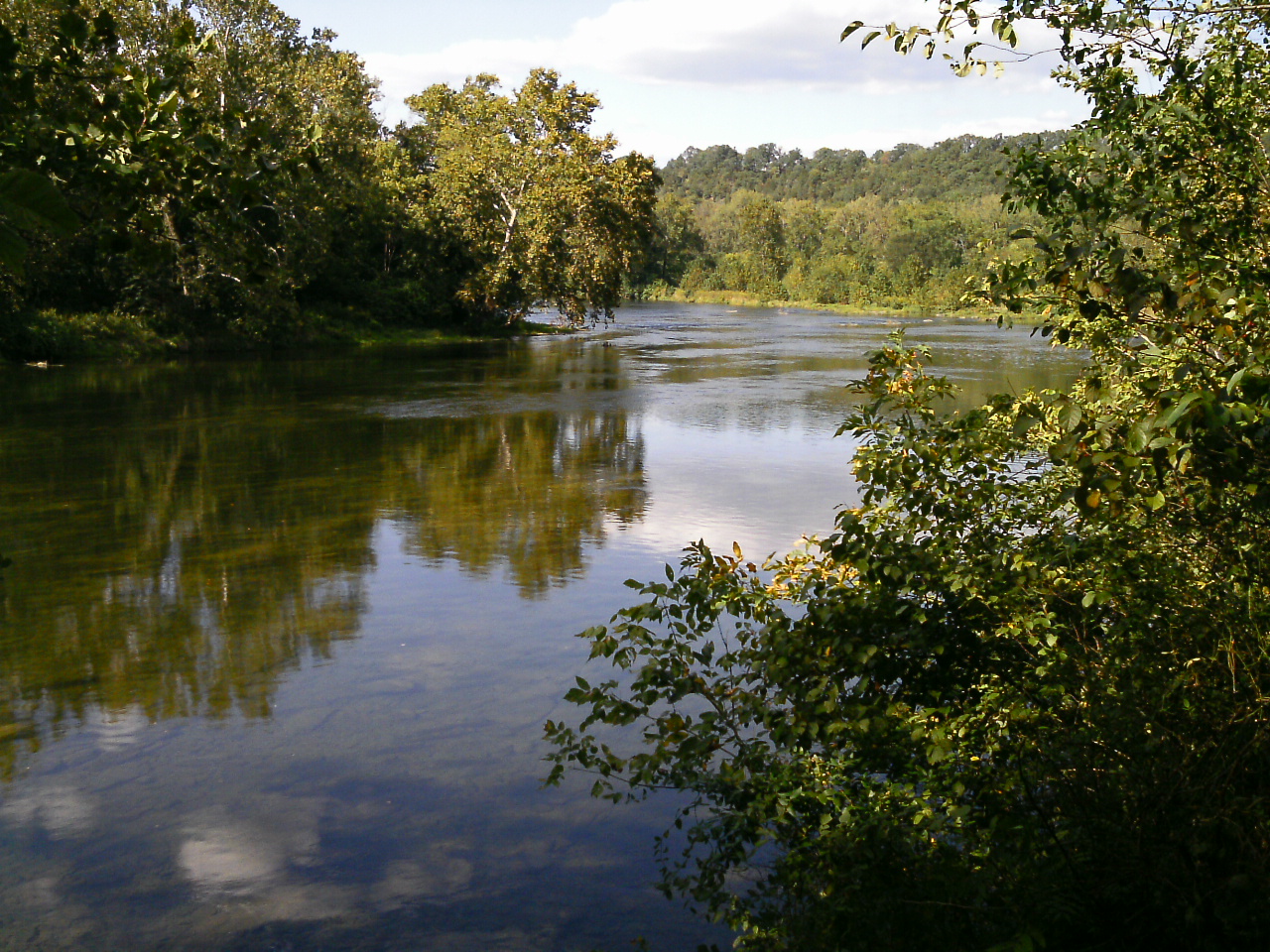
A watershed is an area of land that drains into a particular river, lake or other body of water.

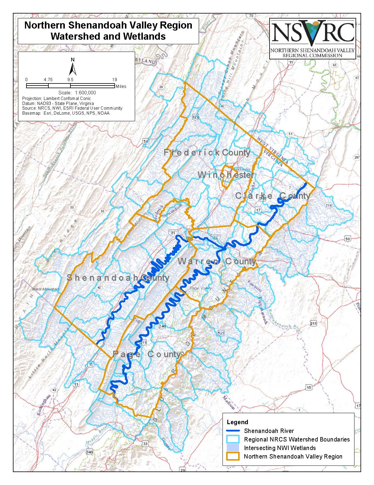
NSVRC LOCAL WATERSHED MAP
(click to enlarge)
CHESAPEAKE BAY WATERSHED MAP
(click to enlarge)
Everyone in the Northern Shenandoah Valley lives in the Chesapeake Bay watershed. What flows into and through our local rivers and streams, will ultimately find itself in the Chesapeake Bay.
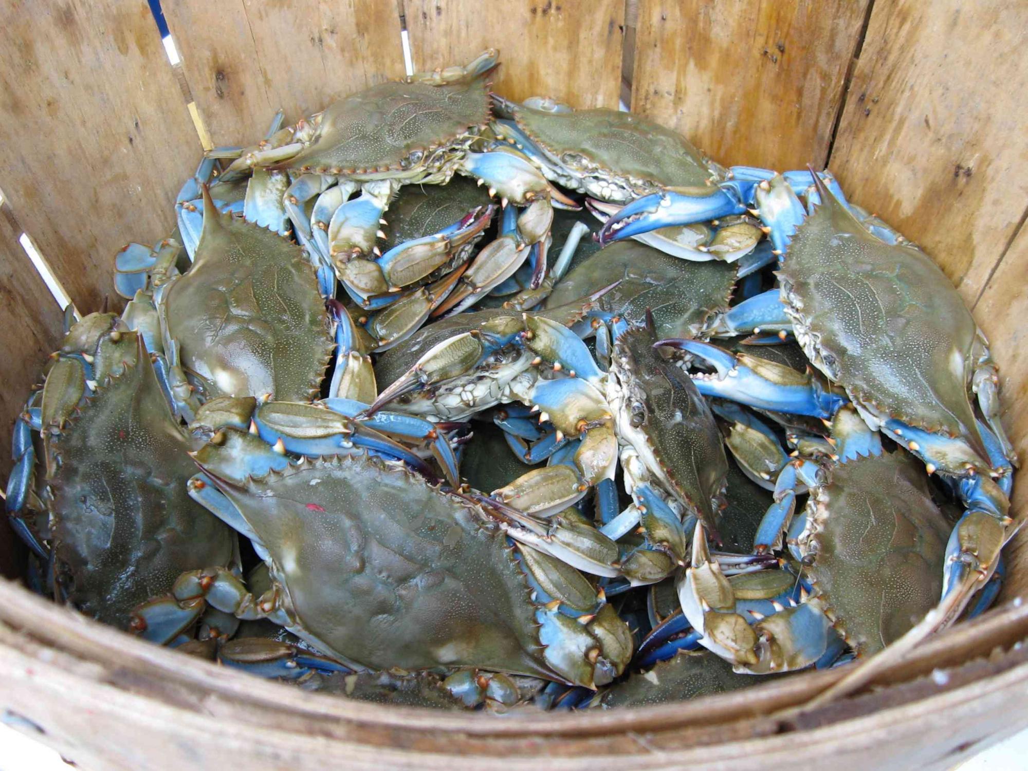
Approximately 18 million people live in the 64,000 square mile Chesapeake Bay watershed. It is comprised of 150 major rivers and streams and nearly 12,000 miles of shoreline.
The map below displays the region's local watershed boundaries, as well as the Chesapeake Bay watershed boundary. Enter your address and identify your local watershed.
WATERSHED IMPLEMENTATION PLANNING
Watershed Implementation Plans (WIPs) detail specific actions for Chesapeake Bay watershed jurisdictions to take, in order to meet the pollution reduction goals of the Chesapeake Bay Total Maximum Daily Load (TMDL) by 2025.
On December 29, 2010, the U.S. Environmental Protection Agency established the Chesapeake Bay Total Maximum Daily Load (TMDL). The TMDL is a historic and comprehensive "pollution diet" to restore clean water in the Chesapeake Bay and the region's streams, creeks, and rivers.
(https://www.epa.gov/Chesapeake-bay-tmdl)
(https://www.epa.gov/Chesapeake-bay-tmdl)
Virginia's TMDL calls for a 20.5% reduction in nitrogen, 25.2% reduction in phosphorus and 20.8% reduction in sediment delivered to the bay.
Phase III of Virginia's Chesapeake Bay TMDL Watershed Implementation Plan was published August 23, 2019. The plan outlines the Virginia's overall goals in nutrient reduction and offers Best Management Practices for Bay Jurisdictions to consider in developing lands within the Chesapeake Bay watershed.
VIRGINIA BAY TMDL WATERSHED IMPLEMENTATION PLAN
(click to download)
UNDERSTANDING THE ISSUES
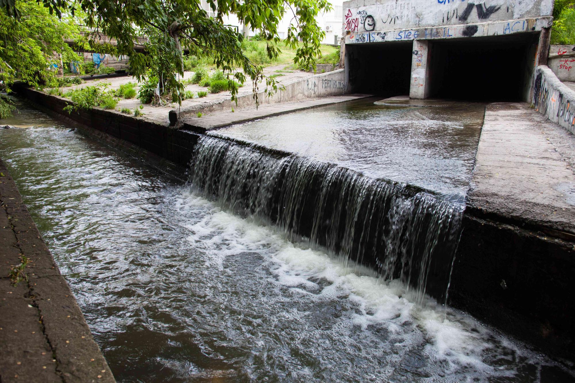
There are numerous contributors to the pollution issues that the Bay faces, from excess nutrients and sediment that pollute our waters, invasive species that crowd out native plants and animals, to a changing climate that is already affecting our land, air and water. A full list of these contributing factors can be found at
https://www.chesapeakebay.net/issues.
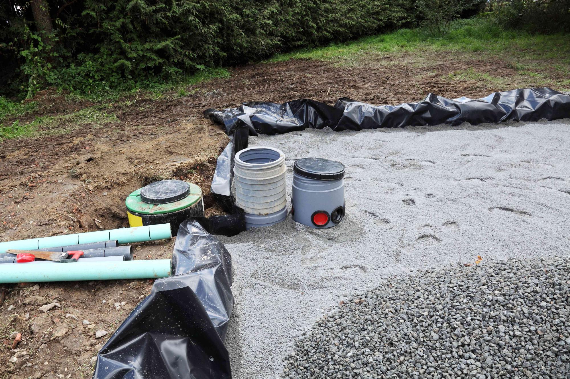
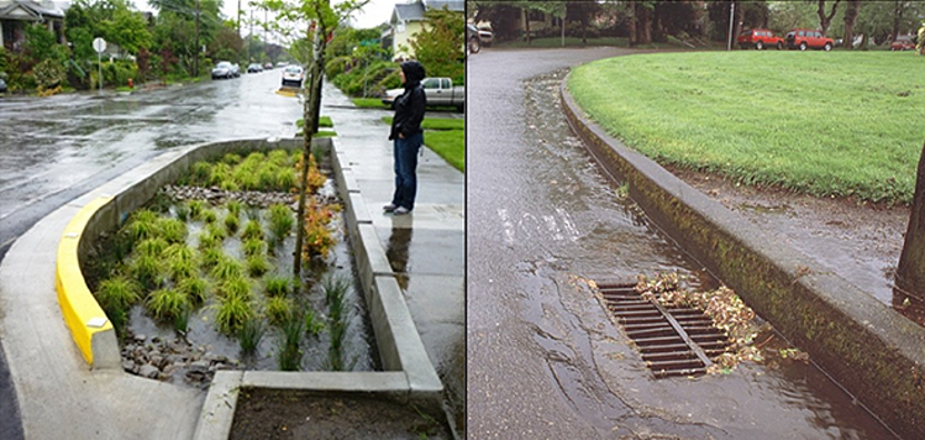
BEST MANAGEMENT PRACTICES (BMPs)
Best Management Practices (BMPs), are utilized throughout the watershed to prevent or reduce the level of pollutants within our waterways. These BMPs are expected to be implemented throughout the region, to contribute to the overall statewide reduction goals set by the Department of Environmental Quality (DEQ).
NORTHERN SHENANDOAH VALLEY BMPs
With Department of Environmental Quality (DEQ) guidance, area planners and stakeholders established Local Area Planning Goals (LAPGs) and developed a list of over 40 effective BMPs to implement throughout the valley. Localities throughout the region can refer to this suite of BMPs for Bay friendly decision making in future development. For a complete list of these BMPs, please contact the NSVRC at (540) 636-8800,
info@nsvregion.org.
WHAT'S NEXT?
Leading the valley’s WIP efforts, with DEQ support, are the State’s Planning District Commissions (PDCs), and the local Soil Water Conservation District (SWCDs).
PDCs and SWCDs throughout the Bay region are engaging with their localities to facilitate a cooperative agreement between local-state governments, on implementing BMPs that help achieve Local Area Planning Goals.
For more information regarding the Phase III WIP, the regional Locality Implementation Program, BMPs, or anything else watershed related - please contact the Northern Shenandoah Valley Regional Commission – (540) 636-8800, info@nsvregion.org
INFORMATIONAL POWERPOINT
The Northern Shenandoah Valley Regional Commission will act as the "urban sector" liaison, for assisting local governments and Northern Valley stakeholders in putting effective BMPs into practice.